*trifecta definitions related to today's blog:
1. noun - a group, set, or series of three; a triad
2. British Dictionary definition - any achievement including three successful outcomes.
What more can a girl ask for than to be in her favorite place in the world, with her husband and new friends? Today's activities were hard to top (except for some on our Alaska RV caravan).
To start out the day, Bob, Pat, Kevin, Bob Z., and I rode together to Johnston Canyon to hike to Lower Falls. The trail to Upper Falls is undergoing infrastructure improvements to the Johnston Canyon railings which will enhance accessibility, improve visitor safety, and reduce disturbance of the endangered Black Swifts nesting in Johnston Canyon. Railings will encourage visitors to stay on the designated trail and keep them from trampling on surrounding vegetation.
Johnston Canyon is a very special place. The beginning of the trail passes through a lovely forest. That changes when you reach the catwalks into the heart of the canyon. From here on, much of the trail to the falls is along catwalks bolted into the canyon walls. The catwalks allow people to walk two abreast. Without these elevated walkways along the canyon walls, most of Johnston Canyon would be impassable.
 |
Bob A. and Bob Z. on the
suspended catwalk in Johnston
Canyon. |
 |
Kevin and Pat are on the catwalk.
Can you tell it's really cold? |
 |
Here's a photo of the catwalk along
Johnston Creek. |
 |
| Kevin and Pat are on the hike. |
 |
| The suspended catwalk. |
 |
| Bob A., Bob Z., and Kevin. |
 |
| Lower Falls in Johnston Canyon. |
 |
| Lower Falls. |
One of the unique aspects of this waterfall is a cave you can enter to get much closer to the falls. When we were there in June, the water gave us a shower because the falls were so full. This time, we didn't get wet at all. Oh, well, it's still a beautiful spot. As we were coming back out of the cave, I smashed the top of my head on the ceiling. Thankfully, I was wearing a very warm coat with a hood. That's what kept my head safe from the rock ceiling.After we did the cave thing, we hiked up another set of stairs to get an overview of Lower Falls. From here, you can see the cave entrance, the falls, and the bridge to the cave. In June, a line of people stretched all the way across the bridge to the cave. Only a few people can go through the cave to the viewing platform at one time. In June, it took us over 1/2 hour to wait for all the people ahead of us to go to the cave. Today, we only had two groups in front of us.
 |
Overview of Lower Falls viewing area
and the cave entrance. |
It was so fun to take Bob Z., Kevin, and Pat to see this unique area. They were appreciative and enthusiastic about visiting Johnston Canyon.
The next activity we wanted to do was a 5k Volksmarch at Lake Louise. Even at this time of year, Lake Louise's public parking lot was full. When we got up to the parking area, Bob asked the workers if he could drop us off. They let him into the parking lot. As we drove through the parking lot, we found an empty space. I asked the parking attendants if we could park there. They said, "Yes," and told us to pay the parking machines on the way to the lake. It cost us $12.25 to park for the day. We considered ourselves extremely lucky to find a spot. There are people who drive around and around hoping for an open parking space on their next pass through the lot.
As we walked to Lake Louise, we could see fog all the way down to the lake. Oh, no! That's a bummer. We decided to do the walk along the lakeshore to the end of the lake anyway.
 |
| Lake Louise is all fogged in. |
 |
We started to see some light at the
end of the lake that looked like the sun
trying to break through. |
The walk along the lakeshore is very flat. It had rained recently and we had a number of puddles to watch out for, but nothing we couldn't bypass easily. The hike to the end of the lake is 1.5 miles (3 miles round trip). When we arrived, the fog started lifting. We felt very fortunate to watch this take place. It was a slow reveal of the grandeur around us. Kevin and Pat had never been here before so they had no idea what to expect. Let's take a look. |
| The world-famous Chateau Lake Louise. |
 |
| Peek-a-boo. What have we here? |
 |
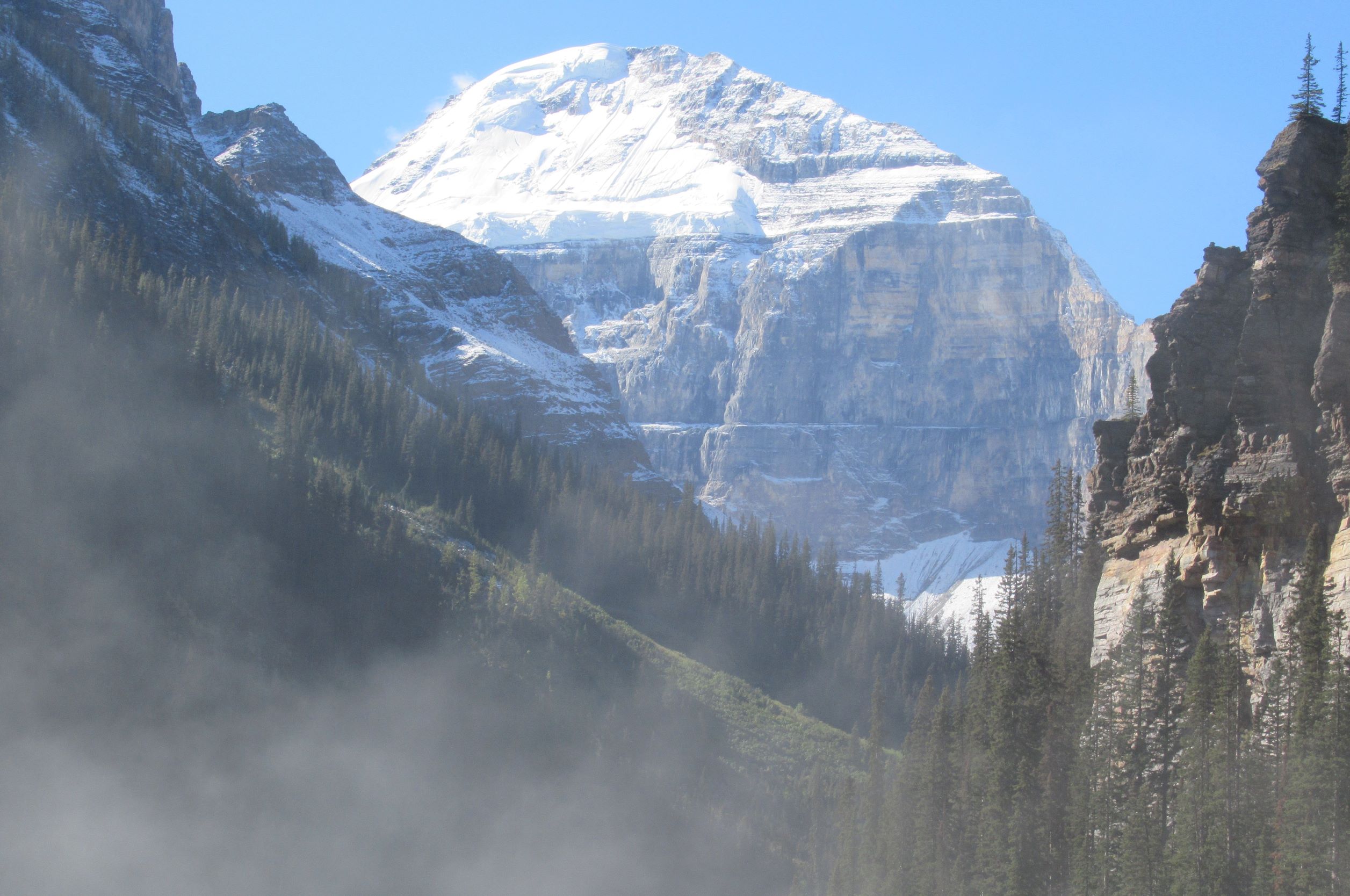
The sun burning through thick fog
reveals a big mountain. |
 |
Bob Z. and Kevin watching
the fog reveal the majesty
surrounding the lake. |
 |
We are at the end of the lake watching
the rock cliffs appear above us. |
 |
| The mountains are coming out. |
It looks like we picked the absolute best time to be here. The big reveal of the mountains surrounding the lake teased us for at least one-half hour before we could see all the scenery.
 |
| The fog is so cool to watch! |
 |
Chateau Lake Louise and the
mountains behind it. |
 |
| A granite massif. |
 |
| Sawtooth-type mountains. |
 |
What a morning! Look at the color
of the water. |
 |
This is the view we didn't see when
we got here. Wow! |
 |
| Stunning! |
As we headed back to the parking lot, we saw Rocky and Cathy walking toward us. They plan to eat lunch at Chateau Lake Louise overlooking the lake.
Our next stop will be trickier. In order to go to Moraine Lake, there has to be enough parking at the end of the road to let us through the barricade. There is a guard keeping track of vehicles coming and going. We drove down the road. As we approached the guard, we slowed and asked if we could go up to the lake. The answer was, "No." At that point, we decided to eat lunch and try again later.
There's a strip mall in Lake Louise Village and we chose to have lunch at Lake Louise Village Grill & Bar. It ended up being a good choice. They had typical American fare as well as Chinese food. And, there was no wait to get in! Score!
When we finished eating, we decided to make one more pass by the road to Moraine Lake. In order to do that, you have to drive all the way back to Lake Louise and drive back down to the barricaded road. As we got close to the barricade, a shuttle bus was let through, and then two cars. They also let us through and closed the barricade behind us. We all felt lucky today and made the comment that we should play the lottery!
We had told Bob Z., Pat, and Kevin that the first place we were going to go at Moraine Lake was The Rockpile to take photos. We walked through the woods and came out at The Rockpile. Pat was surprised. She thought The Rockpile was going to be a little pile of rocks. Hah! Not so.
 |
Pat, Kevin, and Bob A. starting
the climb up The Rockpile. |
 |
The view of mountains looking away
from Moraine Lake. |
 |
This is where we continue up
The Rockpile. |
 |
Moraine Lake and the ten peaks.
Kevin and Bob A. are at the bottom right. |
 |
Bob is at the top of The
Rockpile at Moraine Lake. |
 |
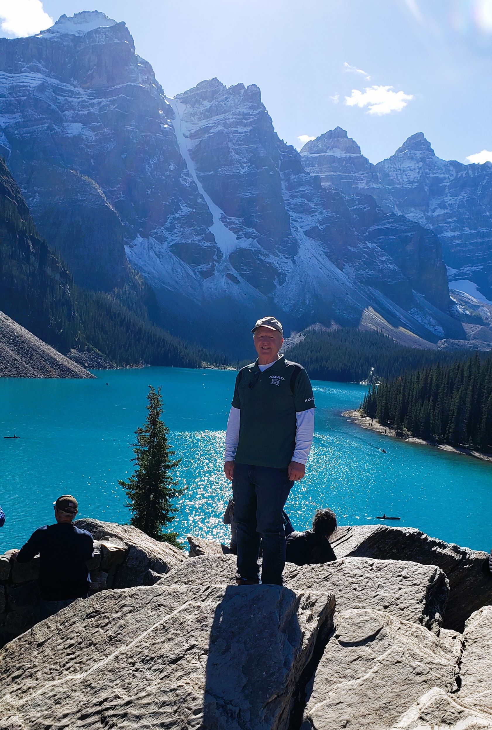
| Bob and I are at Moraine Lake. |
Now, we are going to walk to the end of Moraine Lake. It's a relatively flat trail and when we're done we'll have walked another 5k Volksmarch. This trail is more primitive than the one around Lake Louise. We had to watch our step in this forest because of all the roots.
 |
Moraine Lake's color is
prettier than Lake Louise's color. |
 |
Bob hiking through the
woods. |
 |
| Bob A. and Pat. |
 |
| Pat and Bob A. |
 |
The end of Moraine Lake. It is not as
big as Lake Louise. |
 |
| Me and Pat. |
 |
Bob at one of his favorite places,
Moraine Lake. |
 |
| Kevin and Bob A. |
 |
| Pat, Kevin, and Bob A. |
 |
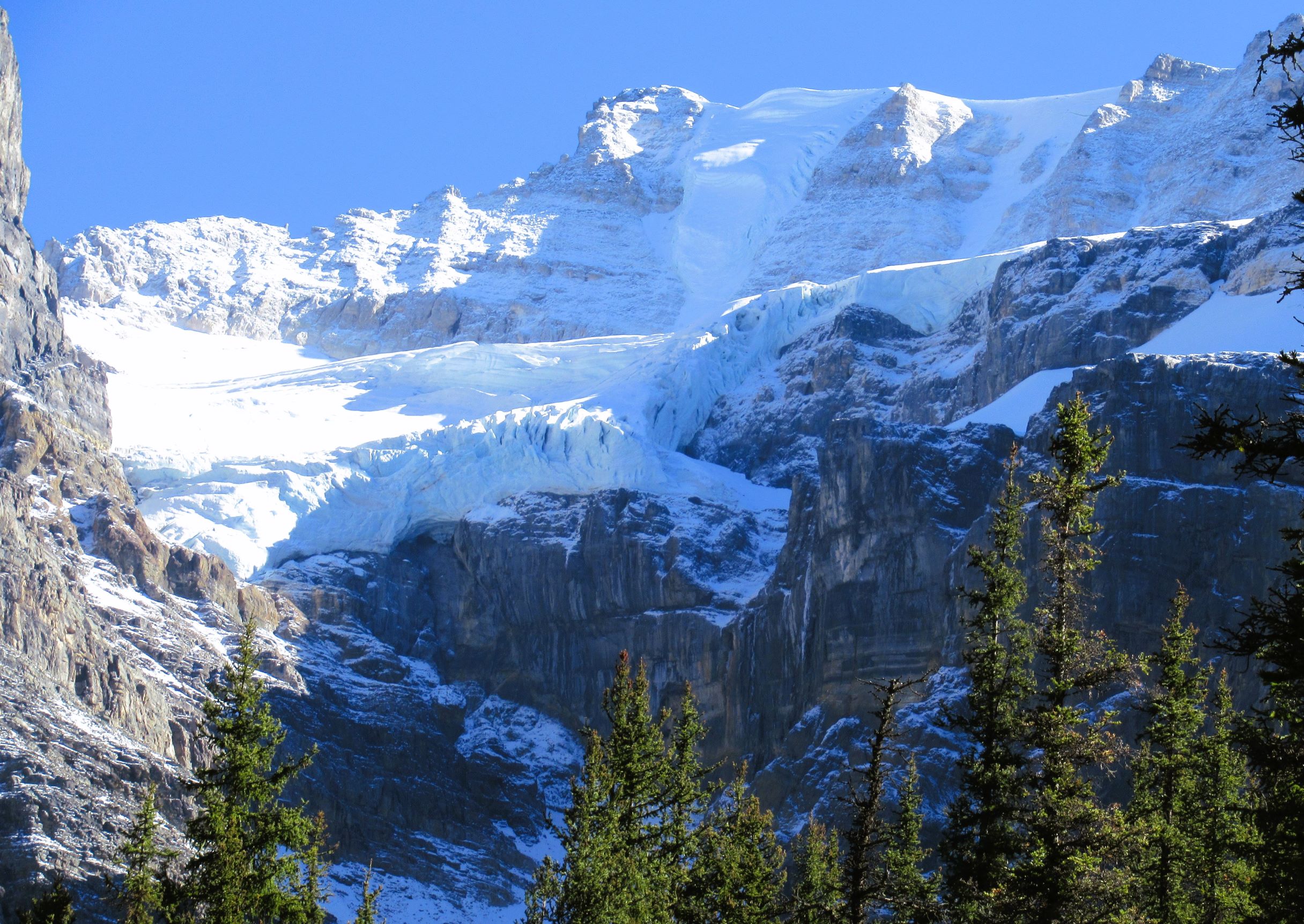
Looking up at hanging glaciers that
are above Moraine Lake. |
We had a most excellent day all around. The weather was picture perfect.
It was time to head back to our RVs and get ready for Carol's birthday dinner tonight at the Park Distillery Restaurant and Bar in downtown Banff. We had 21 people at the restaurant. Their claim to fame is a vodka distillery on the premises.
The drink that was recommended to us was a Hard Root Beer made with vanilla vodka. OMG! What a yummy drink. Bob and I both love root beer. You can't taste the vodka in this drink.
For dinner, Bob had the pulled chicken sandwich with bacon, a side salad, and fries. I had Achiote Shrimp Tacos, Smoked Tomato Chili Vodka Soup, and a piece of focaccia bread. We loved our food and had great conversations at our table.
Tomorrow is our last full day in Banff. Some members of our caravan left for home or a repair shop today. It was bittersweet saying goodbye to our new-found friends. We plan to get together with them in the future. It has been a memorable trip with many new adventures under our belts.
I will continue catching up with my blogs in the next few weeks. That's all for today.