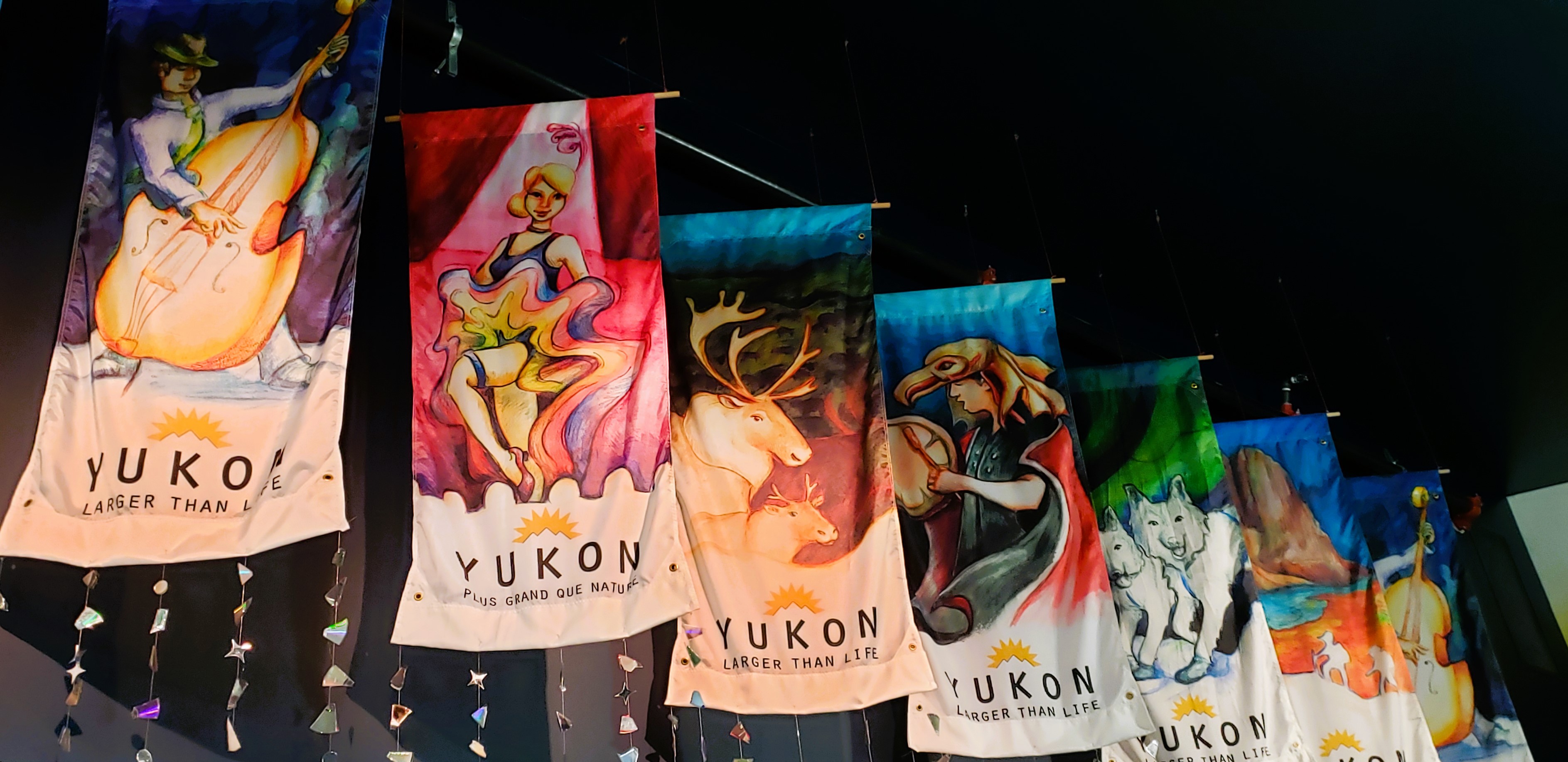
After spending two nights and one day in Haines, Alaska, we returned today to British Columbia and Yukon Territory, Canada. I'll catch up on earlier blogs another day.
While we were in Haines, it was hard to see how high the mountains were because clouds enveloped them. As we left town, we had a peek-a-boo view of a few peaks.
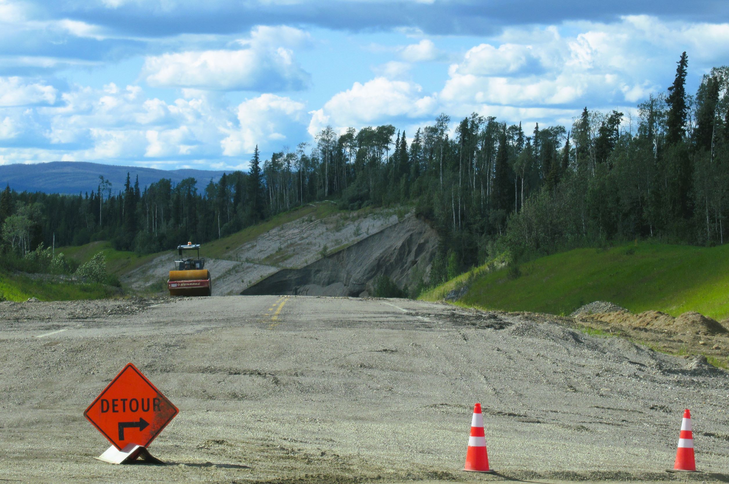
On our way to the Canadian border crossing, we had to go through heavy road construction. However, it was way better than what we had to go through on the way into town. As we were slowly moving through the dirt/gravel construction area, we drove extremely close to the Chilkat River.
In the river, were two fish wheels. They look like little paddlewheels. When the wheels move in the current, there are screens that catch the fish and deposit them in a holding tank.
 |
| A fish wheel with two workers on it. |
When we got to the Canadian border crossing to go into British Columbia, there were about eight vehicles ahead of us. It took forever to go through the crossing this morning. The border patrol agents were searching vehicles. It was an hour before we got to the border. The line of vehicles was LONG behind us. I have no idea how many RVs and cars were back there. But, here's a photo that shows what we could see. |
The backup at the Pleasant Camp
border into British Columbia.
There's no other way to go. |
In front of us was a pickup with a camper on it. The man who was driving it was disabled and used a cane. They made him go in his camper and get out his eggs (in a carton). The agent spent a few minutes looking over the packaging and checking the date, where the eggs were from, and finally handed them back to the man after okaying them.We saw other people ahead of us get their RVs searched, too. When the agents went into one of them, the people's dog raced out, apparently thrilled to get out of the confined space.
Our rig did not get searched but they did question us about a few things. Once we got through that roadblock, it was clear sailing. It took some of our group an hour and a half to make it through the border crossing.
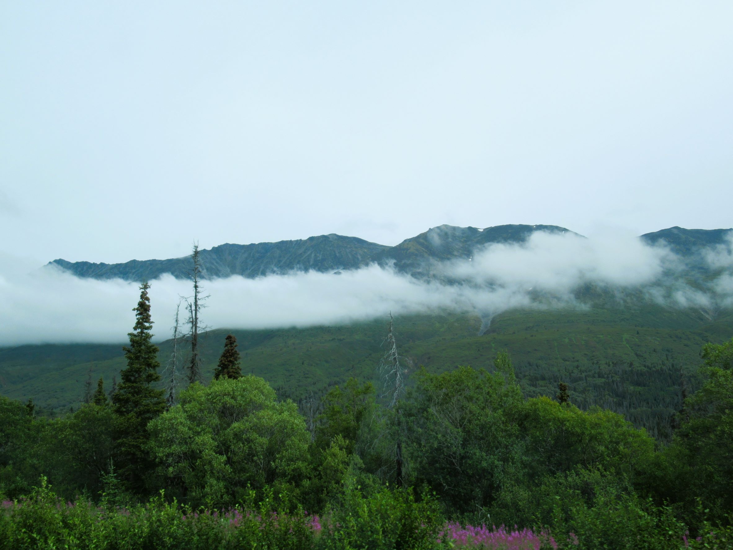
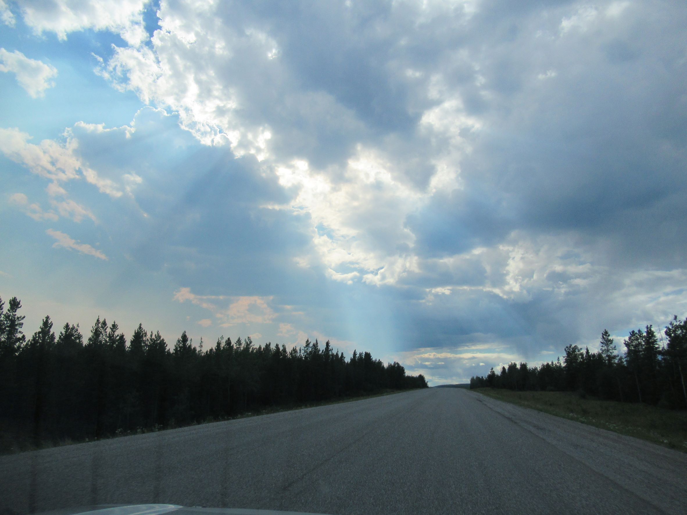
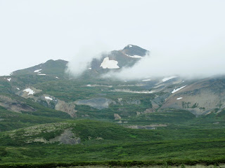
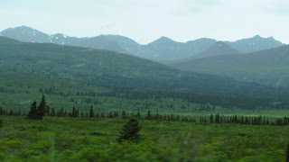
We went over two passes and had some beautiful scenery. It was 57 degrees, rained, and there were clouds hanging low. Big animals were on our minds as we searched the roadsides for moose and bear; then later, Dall sheep.
 |
| Haines Highway. |
 |
| Haines Highway. |
 |
| Haines Highway. |
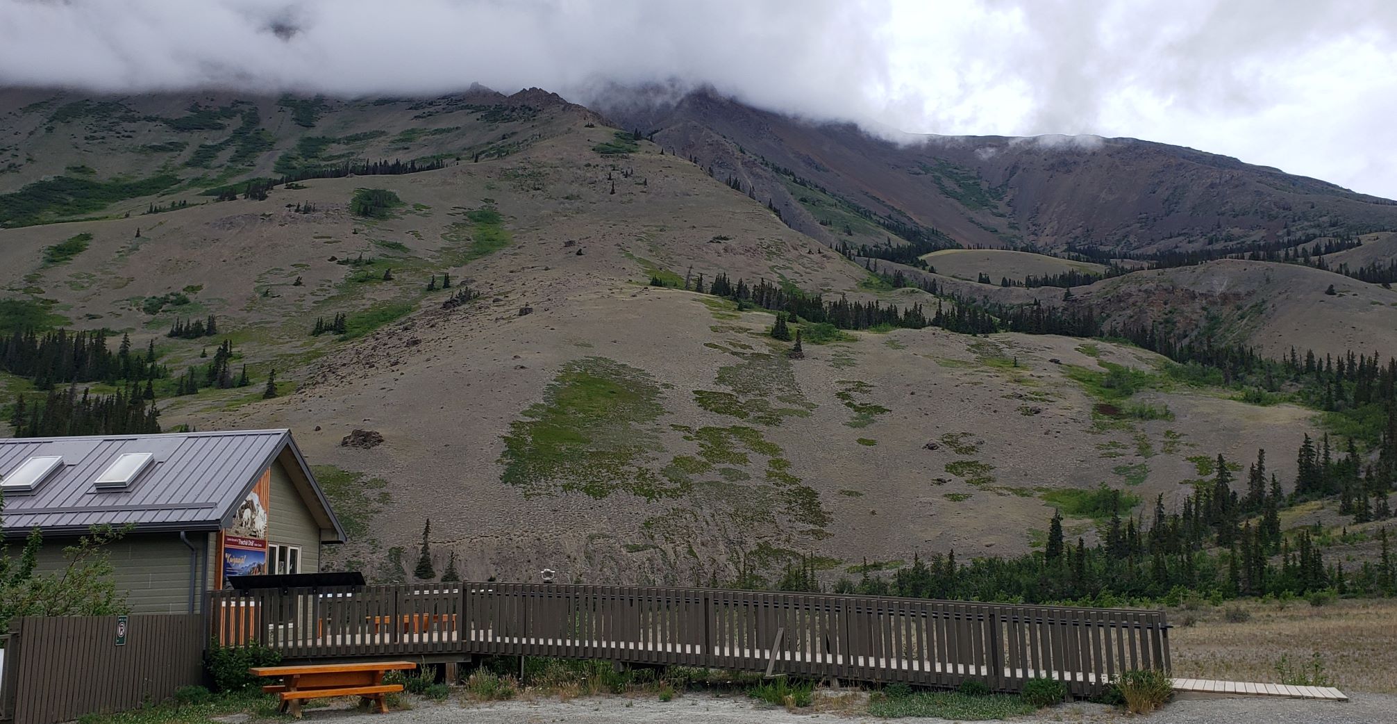
 |
| Haines Highway/YT 3. |
 |
| Haines Highway/YT 3. |
There were quite a few bike riders along the highway today. We had to use great care in passing them on grades with yellow no passing lines.
We have an Alaska Milepost 2022 book that we use as a reference as we drive along. For miles, our book kept saying, "Caution: Watch for moose and grizzly bears." So we watched.
In the area of Klukshu Lake, we started seeing a lot of bear scat along the roadways. We watched more intently. And then, there it was: a grizzly bear on the passenger side of the truck, up on a hillside, grazing on grasses. Conveniently, there was a pull-out right there.
I jumped out of the truck and walked back. As I walked back to where we saw the bear, Bob was pulling the 5th wheel away from me to get it off the road and onto the pullout. The bear was moving in the direction of the truck, but up on the side of the hill. It kept getting out of view in the tall thickets. It also kept looking at me.
I know that grizzlies can run 35 mph, so I was getting nervous. I finally was able to take a photo of it and I hightailed it back to the 5th wheel. Bob was coming out to try to see it and I told him I was going back to the rig and he should too!!
 |
| This is the back end of the grizzly. |
That was our biggest excitement of the day. Although, we did see a small tour bus disabled on the highway in the opposite direction. People were walking away from the bus to a turnout where there were two other buses. There were long skid marks behind the bus and it had a front flat tire. We wondered if they hit something. Never did find out.
A couple of miles down the road, we saw a group of about ten people with backpacks walking along the road. I hope they don't encounter any grizzlies!
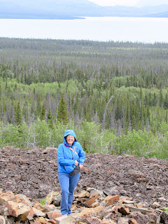
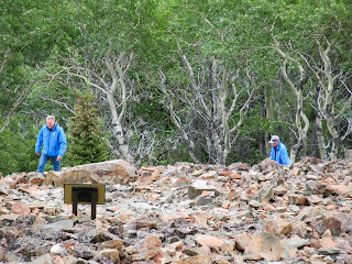
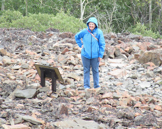
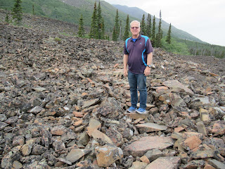
Next up, we stopped at a roadside attraction: "Rock Glacier." The turnout is across from Lake Dezadeash. Bob and I stopped here a couple of days ago on our way to Haines. We did the hike then, but I wanted to hike farther up the trail today. We let people in the caravan know about the hike. This was also where Bob and I ate our lunch.
 |
| Information about the trail. |
 |
| Lake Dezadeash info. |
 |
| Not to belabor the point, but... |
The first part of the hike climbs slowly on boardwalks then switches to a trail with lots of roots. We passed a marker about this trail having been built by The Civilian Conservation Corps in 1978. It's a wonderful trail!
We then walked on another boardwalk which took us to rock, and then wooden stairs. That brought us out of the trees onto the rock glacier. This place is amazing, to say the least. Bob and I likened it to being near the end of a lava flow, only the end of this glacier is lots of rocks!
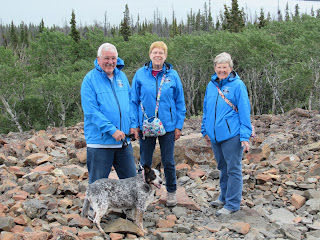 |
Joe, me, Joan, and Star at
Rock Glacier. |
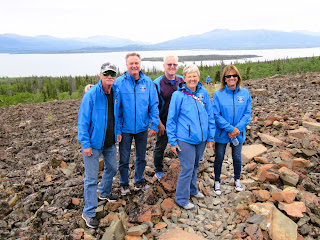 |
Hiking with friends. Tom, Kevin, Bob,
Joan, and Pat. |
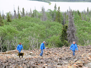 |
Kevin, Tom, and Pat making their
way up. |
 |
Joan on Rock Glacier with
with Lake Dezadeash in the back. |
 |
| Kevin and Tom. |
 |
| Joan reading the interpretive sign. |
 |
This is as high as Bob and I went. The
interpretive sign here says you can go
on for hours. Nah, we're good for now. |
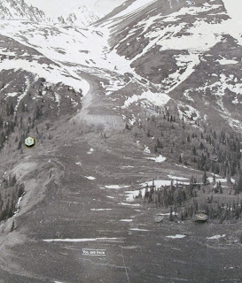 |
Find "You are here" in this photo.
That's where we hiked to. |
 |
| We didn't see or hear pika today. |
 |
| Lake Dezadeash. |
 |
| Bob on the rock steps of the trail. |
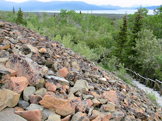 |
The edge of the Rock Glacier and
the stairs we'll take down. |
 |
On the stairs looking up at Bob and
the mountains. |
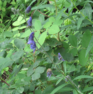 |
I think this is Western monkshood
(Aconitum columbianum). |
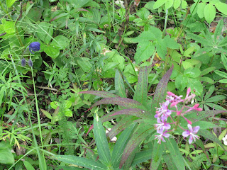 |
| Western monkshood and fireweed. |
For lunch, we had egg salad sandwiches and chips. Sunnie (our cat) also had his lunch, got lovies, and used the kitty box. Then, he went back to sleep in his box on our bed.
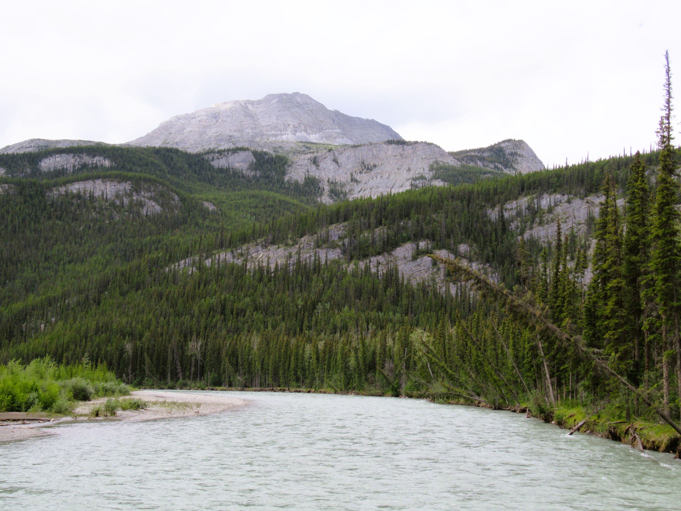
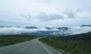
We continued on to Haines Junction, Yukon Territory. From Haines Junction, we turned north on Alaska Highway 1. Our destination tonight is Destruction Bay, Yukon Territory, Canada.
 |
The scenery along Alaska Highway 1
north of Haines Junction, YT. |
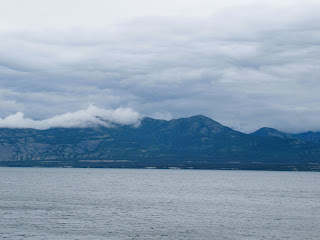
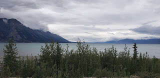 |
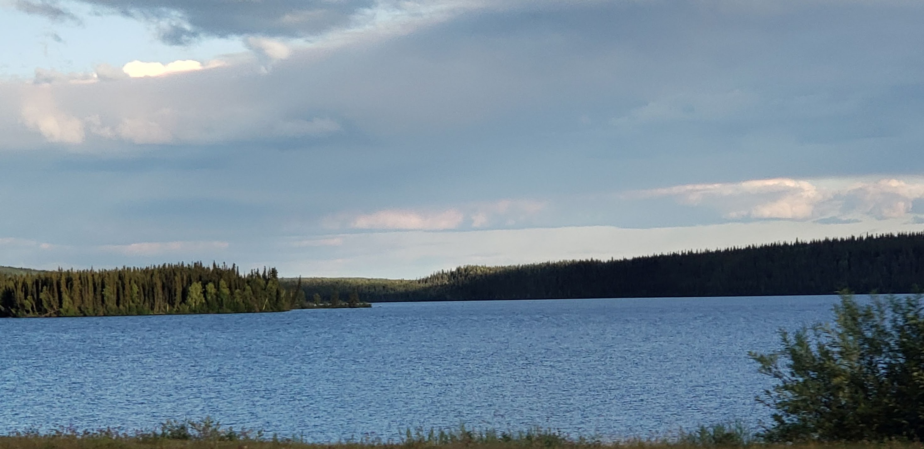
Kluane Lake, the largest lake in the
Yukon Territory. It goes on for many miles! |
 |
| Kluane Lake. |
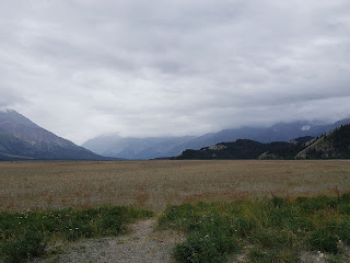 |
| Part of Kluane Lake is now a meadow. |
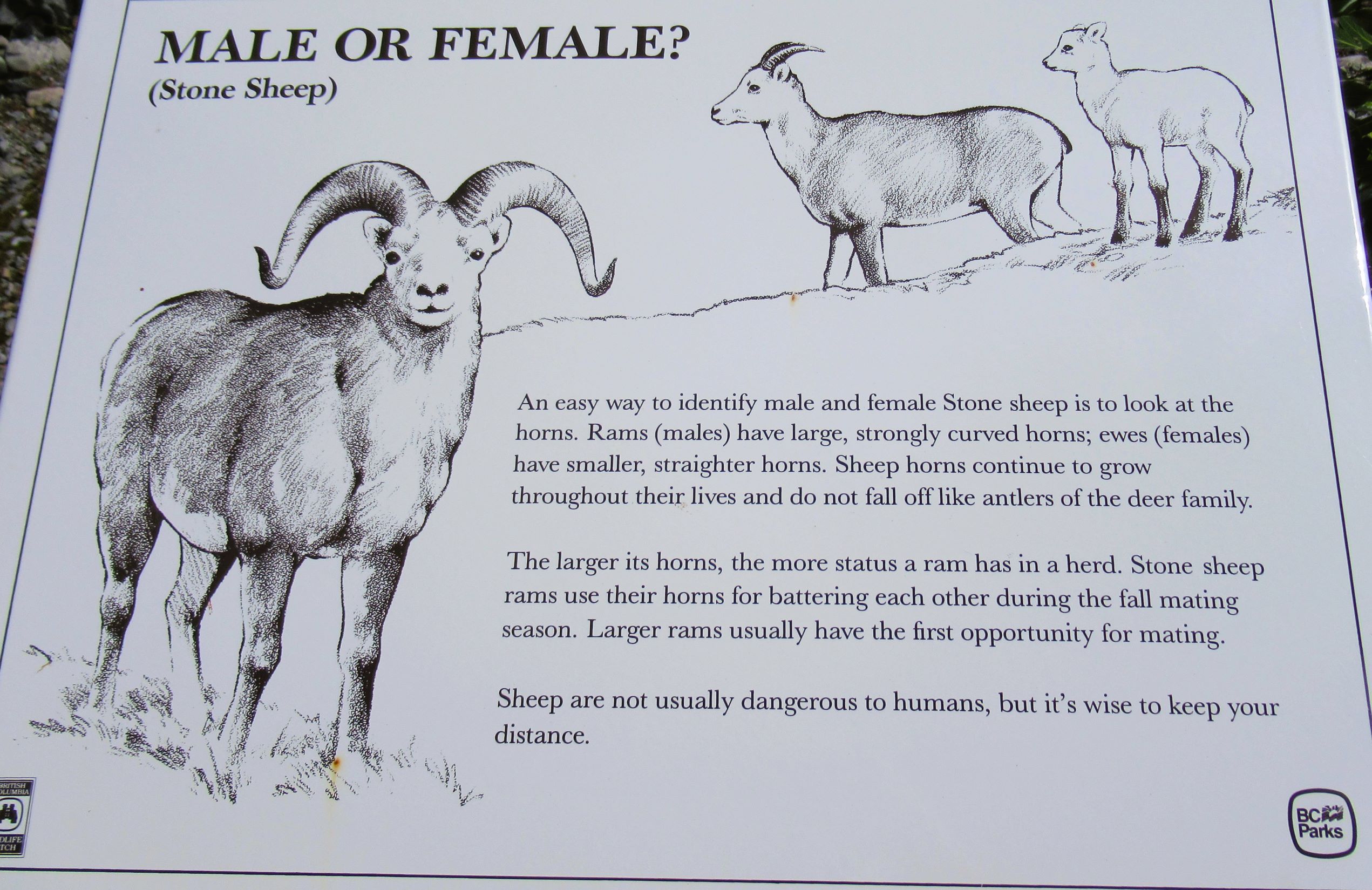
We stopped at a Visitor Centre just south of Destruction Bay that has exhibits on Dall sheep and the First Nation peoples. By the time we arrived at the Visitor Centre, it was closed. An artist had a workshop set up in a room of the Visitor Centre. He invited us in to see his work. Very friendly chap. We did not see any Dall sheep.
 |
Visitor Centre and a mountain to
search for Dall sheep. None today. |
 |
A marble Dall sheep carving in
the parking lot at the Visitor Centre. |
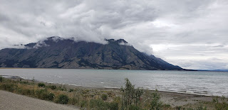
 |
Kluane Lake with mountains in the
background. |
We made it to our campground, which has electric hookups only. This morning, we had to make sure to fill our fresh water tank.
Tomorrow, we will have our worst road of the trip to Tok, Alaska. We are getting into the permafrost and it is melting. That means frost heaves and sinkholes. We have been warned to travel extremely slowly. This area is where people break their axles, bolts, shackles, you name it. Repairs can take weeks if the shops don't have the parts.
In the past few days, we have diligently watched for animals. Tomorrow, we will diligently watch for the extremely rough spots on the road!
TravelBug out.