
We had already checked in via the OLSB (On-line Start Box at my.ava.org) and printed out our directions. It was easy to hop out of the car and start walking. The town is very cute and has a few homes and buildings that stand out architecturally. It was originally settled by the French.
The first unique building we passed was the Cape Vincent Fisheries Station. It is home to the Research Vessel (RV) Seth Green and an aquarium that highlights local fishes. I would have gone to the aquarium, but it is closed due to flooding.
 |
| Cape Vincent Fisheries Station (with Aquarium) |
 |
| I liked the weird arch at the top and the lintels over the windows. |
 |
| Sackett house with sunken garden. |
 |
| 1870 - Erastus Burnham house. He owned a thriving seed and lumber business. |
 |
| Normally this is the public dock. |
 |
| A mural welcoming travelers from Canada to the U.S. at the Cape Vincent Ferry Terminal. |
 |
| A Friendship fundraiser quilt. |
 |
| Stove made by the Forsythe Foundry in Cape Vincent, New York in the 1800s. |
 |
| The efficient Petit Godin Stove. |
 |
| Description of Petit Godin Stove above. |
 |
| Wooden shoes. |
And, we got caught in a downpour. The rain was driving sideways and it was impossible to keep the umbrella up. We took shelter on the down-wind side of a huge tree trunk. That worked to keep most of the rain off for the short duration of the cloudburst.
A piece of history we did not know: Napoleon Bonaparte had a refuge built for him in this town. The Cup and Saucer House was built by Count Pierre Francois Real in Cape Vincent. Of course, Napoleon never made it. The house burned in 1867.

 |
| The Stone House - built in 1815 by J. D. le Ray du Chaumont to shelter Canadian rebels during the Patriot War in 1838. |
 |
| Maple Grove, established 1838. |
 |
| These mansions all have views of the St. Lawrence Seaway. |
 |
| A pretty lighthouse gate in front of a home. |
 |
| Entrance to Tibbetts Point Lighthouse. It seems Tibbetts and Tibbits spellings are both correct. |
 |
| Bob watching his ship come in. |
 |
| Info about the Fog Horn Building. |
 |
| Tibbetts Point Lighthouse. |
 |
| Lake Ontario. |
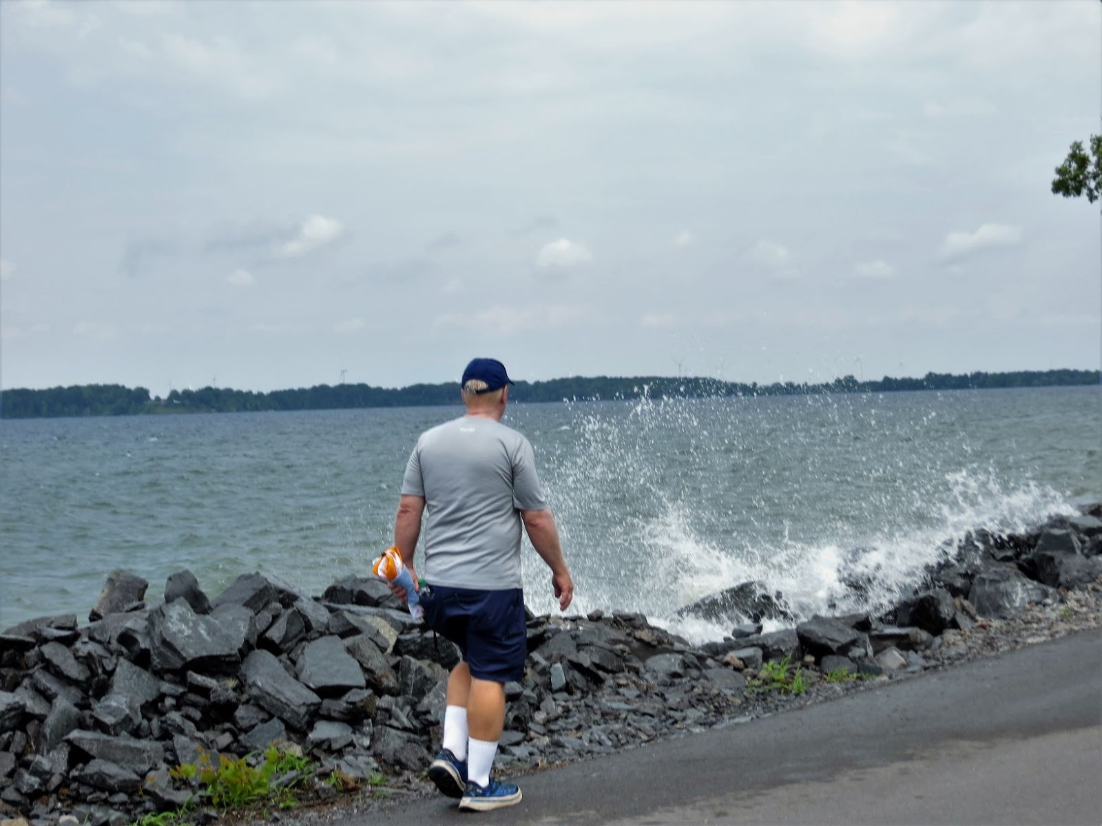 |
| Bob walking along the St. Lawrence River. You can see how high the river is splashing. |
 |
| Canadian Steamship Line heading downriver. |
 |
| Small car ferry heading from Canada to Cape Vincent. |
 |
| I zoomed in on the car ferry and the ship. |
 |
| Patriotic birdhouse condo. |

After the walk, we had lunch at Cape Vincent Brewing Company. It was popular but was just okay in our opinion. They did have funny signs on the wall.

On the way out of town, we drove a different way and found a previous lighthouse which had been moved to this location to welcome people to Cape Vincent. This lighthouse stood on the Cape Vincent Breakwater from 1900 to 1951.
 |
| The previous lighthouse. |
Many thanks to the Niagara Frontier Volkssport Club for this wonderful walk.
Thank you for the tour! It has been many years since we visited CV. My ancestors moved back and forth from CV and Canada over several generations. They were Loyalist of course.
ReplyDeleteKaren, You're welcome. That's an interesting family history you have!
DeleteI still love all your stories and pictures, even when they aren't AVA sanctioned events and now that I know how to use the OLSB, I'm really pumped.
ReplyDeleteDJ, Thanks! The OLSB is really convenient. Our biggest obstacle is not having good internet to be able to download and print the directions. Many of the campgrounds we've been staying at in New York have awful or non-existent internet connectivity.
Delete