A ten-mile drive today from Rushmore Shadows RV Resort deposited us at the parking lot of the Big Thunder Gold Mine. The weather was fantastic, 66 degrees with a cool breeze.
We opted to do the Keystone historic walk past the mines and historic buildings rather than the touristy part of town. It was an easy walk except for the first hill past the church! That was steep. |
| Keystone Church of Christ. |
 |
| Pretty stained glass windows. |
 |
Keystone School, 1899-1988; it is now
the Keystone Museum. |
 |
History of the Keystone School, ©2005,
Keystone Area Historical Society. |
 |
40th anniversary of the 1972 flood, ©2005,
Keystone Area Historical Society. |
 |
| Display outside the Keystone Museum. |
 |
Original, hand-hewn log schoolhouse built
in the early 1890s. |
 |
History of the original Keystone log schoolhouse;
the historical marker calls this move "higher education"!
©2005, Keystone Area Historical Society. |
 |
The map of the original townsite,
©2005, Keystone Area Historical Society. |
The next few photos show the Black Hills South Dakota histories of the Native Americans (Sioux and Lakota), General Custer, and gold. |
| Ben Black Elk, first Native American ambassador. |
 |
Paha Ska (Oglala Lakota) "Goodwill Ambassador
for Keystone and South Dakota." |
 |
Battle Creek circa 1873. Painting by Rudie
Adams (Sioux), circa 1942. |
In 1868, the Black Hills were given to the Sioux in the Treaty of Fort Laramie. And in 1874, the Custer Expedition explored the Black Hills and saw the worth of the land.
 |
| ©2005, Keystone Area Historical Society. |
In 1874, gold was discovered in the Black Hills; in 1876, gold was discovered in Keystone. Life for the Native Americans here would never be the same.
 |
| ©2005, Keystone Area Historical Society. |
 |
In 1893, the exploration for gold began at
the Gold Hill Lode claim. ©2005,
Keystone Area Historical Society. |
 |
Chas W Upham Saloon, 1900-1908.
©2005, Keystone Area Historical Society. |
 |
The Hayes brothers develop Keystone - 1894
to 1907. ©2005, Keystone Area Historical Society. |
 |
The first automobile in Keystone was a 1909
Hupmobile. ©2005, Keystone Area Historical Society. |
Eugene B. Hultz, M.D. of Hill City, South Dakota, built this satellite office in 1928 to better serve the residents of Keystone. Note on the historical marker (inset photo bottom right) states how many other businesses have inhabited this little house over the years.
 |
| © 2005, Keystone Aea Historical Society. |
 |
| "Doc's House," est. 1928. |
 |
A 1931 photo of downtown Keystone. The
insert photo on the left is of Tom Hoy, pharmacist,
and Gutzon Borglum, sculptor of Mount Rushmore.
© 2005, Keystone Aea Historical Society.
|
 |
| The Holy Terror Gold Mine |
How did the Holy Terror Gold Mine get its name? It was a tradition to name mines after the founders' wives. In this instance, the mine was discovered by William Franklin and his adopted daughter, Cora, in 1894. Many of Franklin's friends suggested he name the new mine after his wife Jenny. Franklin frequented many of the saloons in town and his wife would end up having to drag him home by the arm. Franklin would wink at his friends and say, "Ain't she a holy terror?"The Holy Terror Gold Mine turned out to be one of the richest gold producers in the country. Keystone "boomed" and at one time was larger than Rapid City. The railroad reached Keystone on January 20, 1900, which was a big factor in the development of the mines and the later carving of Mount Rushmore.
In 1927, electrical power was brought to Keystone via railroad in the form of diesel fuel for diesel engines to drive electric generators. The electric power was used for carving Mount Rushmore, operating mines, and the Town of Keystone. You can read more of Keystone's history on the Keystone Historical Museum's website. FYI, Keystone is only three miles from Mount Rushmore.
When we finished learning about the history of Keystone, we continued our walk past the dilapidated Holy Terror Gold Mine, through two parks, and back to our starting point.
 |
| Keystone scenery. |
 |
| Keystone rock formations. |
 |
| Keystone rock formations. |
 |
Here's cute little Watson Park with its
friendly bears waving a greeting. |
 |
| This is Battle Creek that flows through Watson Park. |
We crossed Battle Creek and then passed Keystone City Park on the way to our turnaround point at the Battle Creek Bridge. |
| A very unique roof. |
 |
The town of Keystone has its own
Fitness Walk. |
 |
| Keystone Veterans Memorial. |
 |
| We crossed back into Watson Park |
As we walked along Highway 40, we passed homes. A couple was out working in their yard and we stopped to talk to them. They retired five years ago in Keystone and absolutely love it.
After we enjoyed the walk, we had lunch at Peggy's Cafe in Keystone. They were still serving breakfast, so I opted for a fried egg, bacon, and French toast. I think I even shared a few bites of Bob's pancakes.
We then drove to Rapid City to have someone take a look at our pickup truck. There has been a hot, burning smell near the engine. The place we took it found a slow oil leak from the engine. It must be hitting the hot manifold which causes the burning smell. They told us to keep an eye on it. We haven't noticed any big drops in our oil level.
Diesel fuel was $5.29/gallon in Rapid City. We saw another station that had diesel for $5.49/gallon. You have to pay attention to the prices to save money!
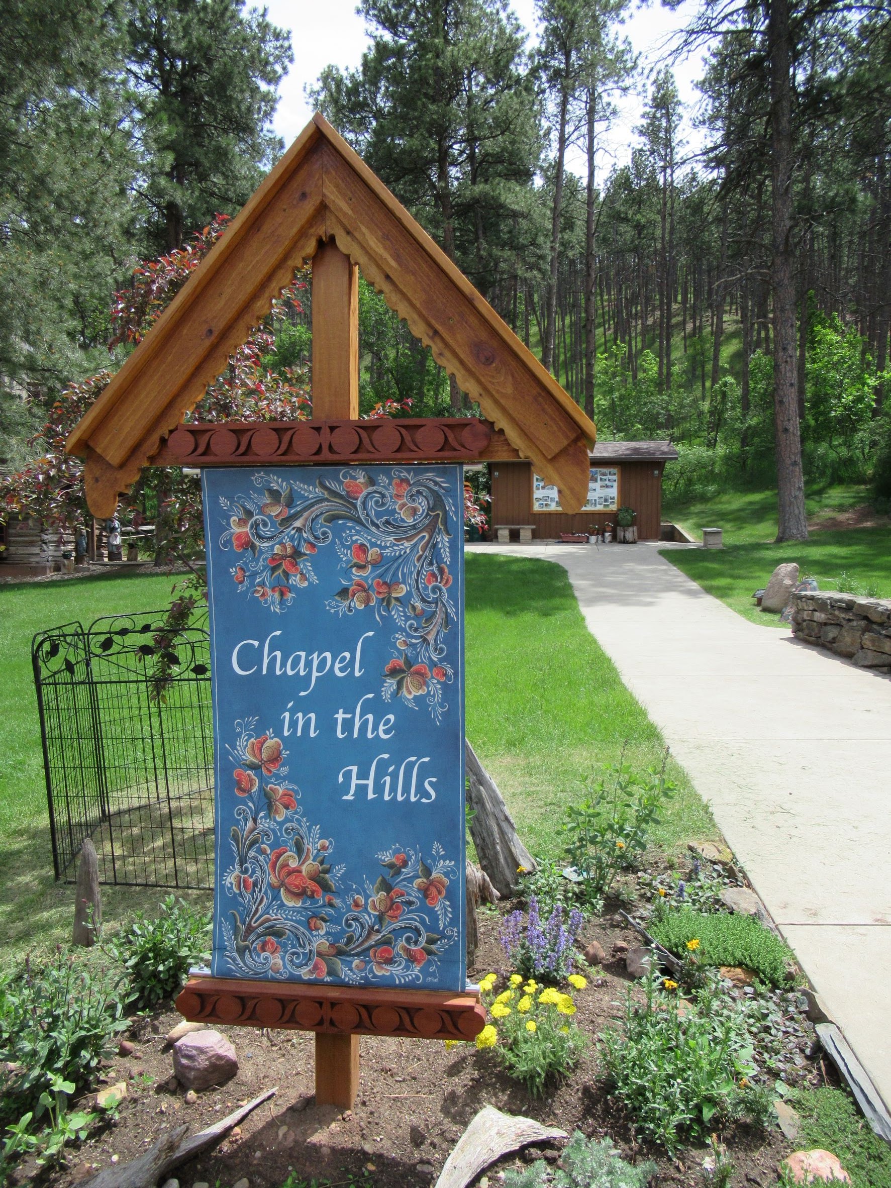
In the afternoon, we went to see The Journey Museum's free exhibit on the 1972 flood, and the Chapel in the Hills, a stavkirke modeled after one in Norway. There was a small museum (one-room cottage) on the property. Admission was by donation.
 |
The Pap Madison Cabin display outside
The Journey Museum. |
 |
| Bob outside the Pap Madison Cabin. |
Below are some of the photos of Rapid City's historic and devastating 1972 flood.
Next up: the Chapel in the Hills, Rapid City's stavkirke. |
| Photo history of building the Chapel in the Hills. |
 |
The Chapel in the Hills is an exact replica
of the Borgund Stavkirke in Laerdal, Norway. |
 |
| The Chapel in the Hills stavkirke. |
 |
| Dragon ornamentation. |
 |
| The interior of the Chapel in the Hills. |
 |
Enclosed hallway outside the church to
protect people from the elements. |
 |
| The fancy stavkirke entry door. |
 |
| Another beautiful door. |
 |
| The stavkirke bell tower. |
 |
| I think this is a dove weather vane. |
 |
| The Chapel in the Hills stavkirke. |
When we finished walking around the stavkirke, we visited the museum and the gift shop.
When we finished exploring the Chapel in the Hills, we returned to the 5th wheel and called it a day. Good night, all.


Wow, what a "long" informative day. I love the research you do in advance and during your visits, whereever you choose to visit and/or walk. I had to visit each picture individually in order to read them. They were a blur otherwise, but am so glad I did. Some really great info and humor (name of mine).
ReplyDeleteI was wondering why I had not heard of that devastating flood, but I was overseas at the time and had a newborn son, in and out of the hospital, so would have had little opportunity to hear anything about what was going on in the states. I can say, I don't like to hear about floods or flooding. Yuk.
Now I have to get caught up on your travels or at least the in between stuff. I followed along pretty good just b4 your caravan along the ALCAN.
Thanks for filling in the lost time.
DJ, Thank you for taking the time to comment. I appreciate the feedback. The floods in Rapid City were terrible. It was interesting being in town for the 50th anniversary of the big flood They had a lot going on.
DeleteSusan